

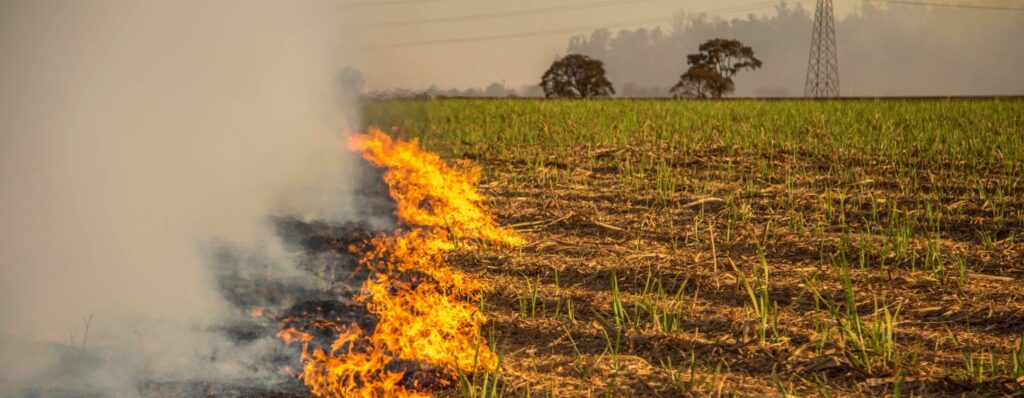
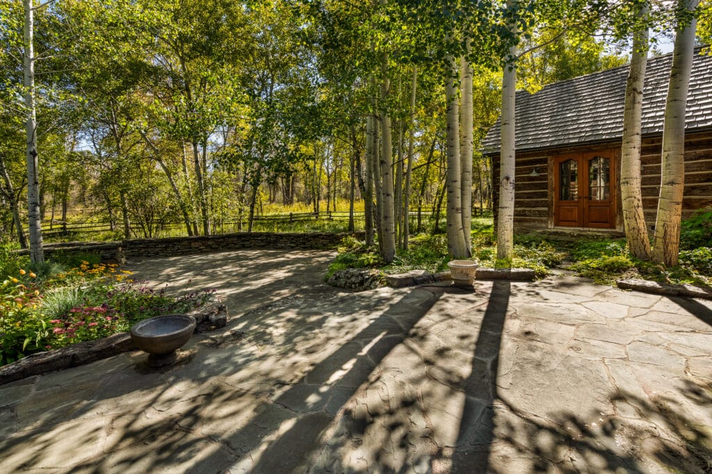
Wildfires can seriously threaten ranch and recreational properties, especially during fire season. This guide helps landowners understand their wildfire risk and take proactive steps to protect their property. It covers the best apps for getting current information, general risk factors, insurance considerations, effective mitigation strategies, and more.
General Wildfire Risk Factors
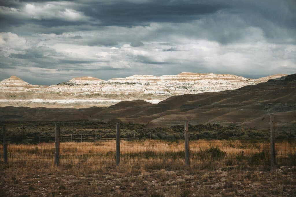
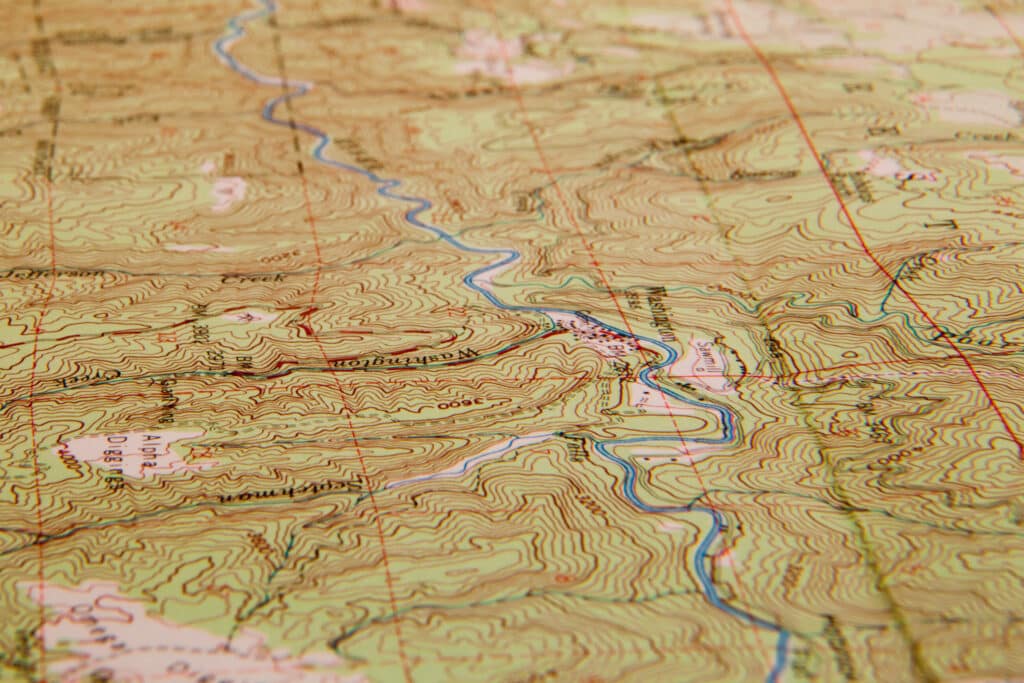
Landowners across the West and Great Plains face a growing threat from wildfire. Whether your property is in a remote mountain canyon or surrounded by open prairie, understanding the core factors influencing wildfire behavior is the first step toward effective risk management.
 |
 |
 |
Weather, Fire Conditions, and Tools to Track Them
Wildfire risk climbs significantly during hot, dry, and windy conditions. Extended droughts, high temperatures, and low humidity dry out vegetation, making grasses, brush, and timber more flammable. Wind can be hazardous as it accelerates fire spread, pushes flames uphill, and can carry burning embers for miles ahead of the central fire. Most regions have predictable “fire weather patterns,” such as dry lightning storms in summer, fall wind events, or late-season heat waves. Understanding when your area is entering peak fire conditions is key to preparedness.
Landowner Tip:
During fire season, stay alert to changing conditions. Monitor NOAA’s Fire Weather Outlooks, your state’s forestry service, and local fire districts for Red Flag Warnings and high wind advisories. If warnings are issued or you feel like your property’s risk conditions are elevated, delay outdoor work that could spark a fire, such as mowing, welding, branding, or equipment use, and review your emergency plans. Keep water sources, sprinklers, and defensible space well-maintained and ready to deploy.
One powerful resource we recommend is Watch Duty, a nonprofit app and website that pulls real-time data from official agencies and verified user reports, including on-the-ground photos and fire line updates. It’s one of the fastest ways to get accurate, hyperlocal wildfire intelligence.
 |
 |
Vegetation, Fuel Load, and How to Manage It
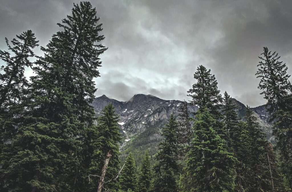
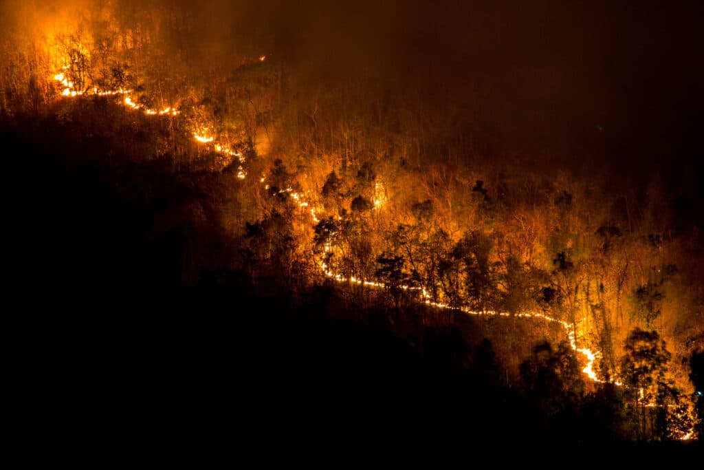
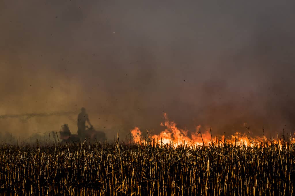
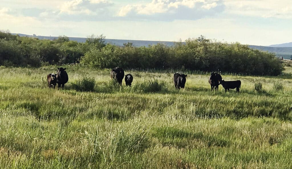
The type and condition of vegetation on your land, often called “fuel,” is significant in how hot and fast a wildfire can burn. Fine fuels like dry grass, brush, and forest litter ignite easily and can carry flames quickly. In timbered areas, years of debris buildup or beetle-killed trees add to the fuel load and increase the risk of high-intensity crown fires. In rangeland settings, flammable shrubs like sagebrush and invasive grasses such as cheatgrass can create continuous fuel beds that allow fire to spread rapidly across open ground.
Ladder fuels are another key concern. Low-growing plants and shrubs allow fire to move from the ground into tree canopies or structures. When fire climbs into the treetops, it becomes much harder to control and far more destructive.
Landowner Tip:
Fuel management doesn’t mean clearing everything. It means breaking up fuel continuity and reducing fire intensity. In forested areas, focus on thinning overcrowded trees, trimming lower limbs, and removing dead or downed wood. In rangelands, prioritize removing invasive species like cheatgrass using targeted grazing, reseeding native grasses, or applying herbicides where appropriate.
Range improvement projects promoting healthy perennial grasses reduce fire risk and improve forage, soil health, and land resilience. Maintain low-fuel areas near fence lines, access roads, and key infrastructure, whether managing timber, pasture, or sagebrush flats, a thoughtful vegetation strategy is one of the most effective wildfire defenses you can implement.
-
University of Wyoming Extension – Cheatgrass Management Handbook
Cheatgrass Management Handbook -
Great Basin Fire Science Exchange – Cheatgrass Cover Mapping and Fire Risk
Cheatgrass Cover Mapping and Fire Risk -
Surviving Wildfire – Ladder Fuels Explained
Ladder Fuels – Surviving Wildfire -
USDA NRCS – Fuel Break (Code 383) Conservation Practice Standard
Fuel Break (Ac.) (383) Conservation Practice Standard -
Fire Adapted Communities Learning Network
Fire Adapted Communities Learning Network
 |
 |
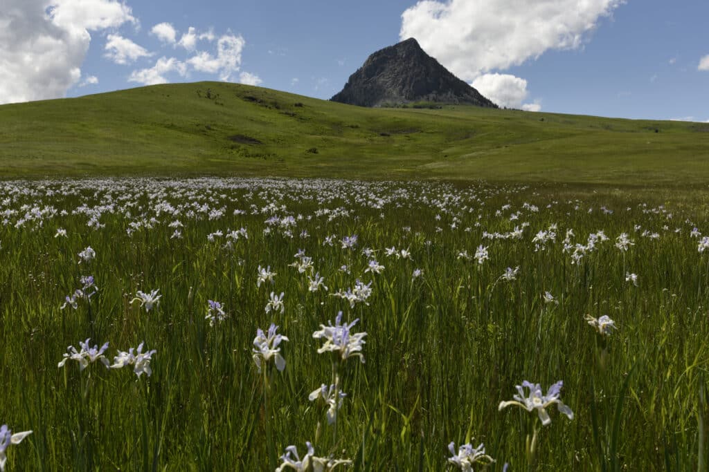
Topography and How Fire Moves Across the Land
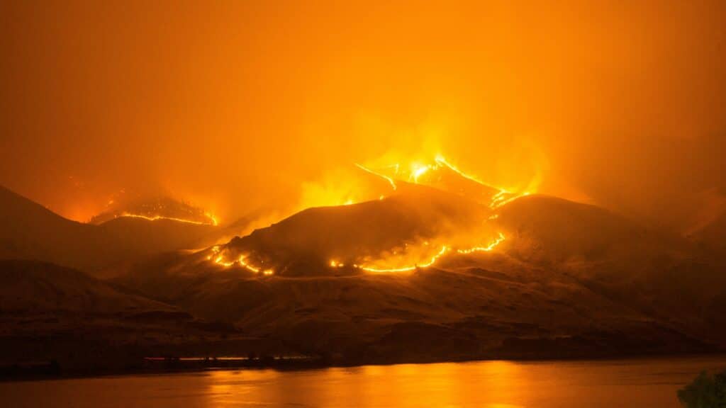
The shape and features of your land directly affect how a wildfire behaves. Fires burn faster uphill because rising heat dries out vegetation ahead of the flames, creating a preheating effect. The steeper the slope, the quicker a fire can travel. Narrow canyons, drainages, and valleys can funnel wind and flames, intensifying fire behavior and creating unpredictable spread patterns.
Your home or infrastructure may face increased risk if it is on a hillside, ridgetop, or near steep terrain. This is often called the “chimney effect,” where heat and flame are funneled upward through slopes or draws and move quickly toward structures.
Landowner Tip:
When assessing wildfire risk, don’t just look at vegetation. Consider how fire would move across your property’s landscape. Homes or infrastructure near slopes should have expanded defensible space zones, especially on the downhill side. If you have roads, trails, or natural openings on ridges or benches, use them as firebreaks or access points for suppression. Avoid storing flammable materials or placing outbuildings in saddles, draws, or directly upslope from dense vegetation. Topography cannot be changed, but how you manage fuels within it makes all the difference.
Learn More: University of Arizona – Effects of Topography on Fire Behavior
 |
 |
Building an Emergency Plan for Your Property
Wildfires can move fast, and conditions can change in minutes. Having an emergency plan before fire season begins is one of the most essential things a landowner can do. A well-prepared plan helps protect people, livestock, equipment, and key infrastructure when time is short and decisions matter.
Start by identifying primary and secondary evacuation routes for everyone on the property. Ensure all family members, employees, or tenants know where to go and how to communicate if a wildfire approaches. Mark private roads and gates and keep them accessible to emergency vehicles. If you have livestock, consider how you’ll evacuate or shelter them. This may involve pre-planning with portable pens or identifying defensible pasture areas. Think ahead about when you would move animals, not just how.
 |
 |
 |
Key Elements of a Strong Emergency Plan
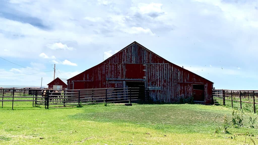
A complete wildfire emergency plan goes beyond evacuation routes and supply kits. It should account for the layout of your land, the location of assets, and how decisions will be made under pressure. Start by establishing exclusion zones around high-value infrastructure and vulnerable areas. These are designated buffer zones where no flammable materials or equipment are stored during fire season. Clearing vegetation, debris, and combustibles around fuel tanks, barns, and equipment sheds can prevent these critical areas from becoming ignition points if fire approaches.
Next, define your trigger points and the specific conditions that prompt action. These might include fire within a set distance, changes in wind direction, or official evacuation notices. Trigger points take the guesswork out of when to evacuate livestock, activate sprinklers, or move equipment.
Your plan should also identify staging areas where people, vehicles, and livestock can safely gather or relocate during a fire event. These areas should be open, accessible from multiple routes, and protected from heavy fuels. Water resources play a key role in suppression and defense. Map out all your property’s tanks, hydrants, ponds, and fill points and ensure they are marked and maintained. Ensure water access is not blocked by fences, gates, or overgrowth.
Finally, could you create strong communication protocols? Cell service can often be unreliable during an emergency or in remote areas. Develop a plan that includes radio channels, backup contact trees, and pre-designated meeting points. Maintain a current contact list for family, neighbors, fire districts, and key personnel, and make sure everyone knows where to find it.
What to Store in Your Fire Box or Go-Kit
Every rural property should have a fire box or go-kit packed and ready for fire season. This kit should be stored in an accessible location and include the tools, records, and supplies you’ll need in case of evacuation or property defense. Start with a printed ranch map marking water sources, fuel tanks, gates, structures, and access roads — this is invaluable not just for your use, but also for first responders unfamiliar with your layout.
Include a written contact list with phone numbers for neighbors, local fire departments, veterinarians, land agencies, and anyone else you may need to reach quickly. Pack essential emergency supplies like two-way radios, flashlights, headlamps, extra fuel, and backup batteries. Also, store multiple phone charging options, including portable battery banks.
Your fire box should also contain both paper and digital copies of important documents. Include insurance policies, property deeds, vehicle titles, and identification records. Back these up on a USB or hard drive that holds ranch maps, photos of structures and assets, and other key files. Review your insurance policies before fire season begins, and take fresh pictures of your home, barns, equipment, and interiors, this documentation will be critical for claims.
Finally, could you talk through the plan? Everyone on the property should know where the firebox is stored and what it contains. The time to make decisions is not when the fire is cresting the ridge. A well-stocked firebox gives you one less thing to think about when every minute counts.
 |
 |
Key Resources for Emergency Planning
-
Trigger Points – NWCG
-
Evacuation Planning – Planning Considerations
-
Defensible Space Guidelines – Colorado State Forest Service
Landowner Tip:
A good emergency plan isn’t just paperwork; it’s a working system. Walk your property and think through each scenario. Where would you go if fire came from the north? How about the south? How fast could you move stock? Would you use a trailer or drive them? Who could you call if you weren’t home?
Exclusion zones are especially valuable around barns, equipment yards, and fuel storage. Keep these areas mowed, cleared, and free of flammable clutter all season long. A laminated ranch map in every truck, a fire box in the shop, and a short list of action triggers can mean the difference between chaos and control when the smoke rolls in.
 |
 |
Insurance Readiness for Wildfire Season
Securing the right insurance and making your property insurable is critical for landowners in wildfire zones. Many rural owners have unique assets to protect.
Adequate Coverage Levels
Please review your homeowners or farm and ranch insurance policy to ensure you have enough coverage to rebuild structures and replace belongings in case of a total loss. Wildfire damage is typically covered under standard property insurance, but you want to verify the coverage limits. Review insurance coverage to ensure it is enough to replace your property, including your home’s rebuilding cost and structures like garages, barns, or fencing. Don’t forget to account for well houses, sheds, corrals, and other outbuildings in rural properties in your policy. If your land is used for agricultural or commercial purposes, consider specialized farm/ranch policies that cover equipment, crops, or livestock lost to fire.
Understand Policy Details and Wildfire Clauses
Read the fine print about wildfire or “brushfire” coverage. Some policies in high-risk areas might carry separate wildfire deductibles or requirements. Check if your insurer requires any wildfire mitigation steps as a condition of coverage. For instance, an insurance company may mandate that you maintain defensible space or clear brush away from structures. Failing to do so could affect a claim, so know your obligations. It’s also wise to confirm coverage for things like smoke damage, temporary living expenses if you’re displaced by a fire, and debris removal after a fire.
Mitigation Discounts or Programs
Ask your insurance agent if they offer incentives for wildfire mitigation. Some insurers provide premium discounts or will insure otherwise high-risk homes if the homeowner completes specific wildfire safety actions. Examples include installing a Class A fire-rated roof, enclosing eaves and soffits with fire-resistant materials, or obtaining a Firewise USA community recognition. While availability varies by insurer and state, demonstrating that you’ve hardened your home against fire can make it more attractive to insurers. Documentation, such as photos of defensible space work or a certificate from a Firewise community, can support your case.
Keep an Inventory and Records
In the stressful aftermath of a wildfire, having an up-to-date home inventory will significantly ease the insurance claims process. Document your property and possessions before a disaster. Walk through your home, outbuildings, and even the ranch with a camera and photograph rooms, major items, and valuable equipment. Keep a written list of essential assets. Make this a yearly task and store these records in a fireproof safe or cloud storage so they survive even if your home doesn’t. After a wildfire, document property damage with photographs, conduct an inventory, and contact your insurance company for assistance. Those prepared photos and lists will help prove your losses and speed up claims. Also, secure copies of insurance policies and agent contact info in your evacuation “go bag” so you can start the claims process promptly.
Consider Special Coverage Needs
Rural landowners might have considerations beyond a typical suburban home. If you have extensive timber on your property, look into timber insurance or endorsements that cover the loss of marketable trees to fire. If you rely on private water sources or power infrastructure like solar panels or generators, ensure those are covered. Additionally, check your liability coverage.
Be Prepared to Shop Around: Insurance companies have tightened underwriting or non-renewed policies in some wildfire-prone regions due to risks. Montana, Wyoming, and other interior states have not seen as severe an insurance pull-out as California, but it’s wise to keep aware of the insurance market. If your insurer leaves the market or raises rates prohibitively, you may need to seek alternatives. State insurance departments often maintain lists of insurers offering coverage in high-risk areas. Wyoming and Montana, for example, may have smaller or regional carriers experienced with ranch properties. Staying on top of your policy renewals and being ready to get quotes from multiple companies will ensure you’re not caught off guard.
Landowner Tip:
Taking documented mitigation measures can reduce your wildfire risk and prove to your insurance company that you are a responsible homeowner. Constantly communicate the steps you’ve taken, including defensible space, structural retrofits, etc., to your insurer, as it can help during underwriting or when processing claims. And of course, never let your policy lapse during peak wildfire season.
Understanding Regional Wildfire Risks
Wildfire behavior looks different across Montana, Wyoming, Colorado, Idaho, Nebraska, and Utah landscapes. From thick forests to open range, each region faces its fire seasons, ignition threats, and land management needs. Here’s a breakdown of what rural property owners should watch for in each state — and how to prepare accordingly.
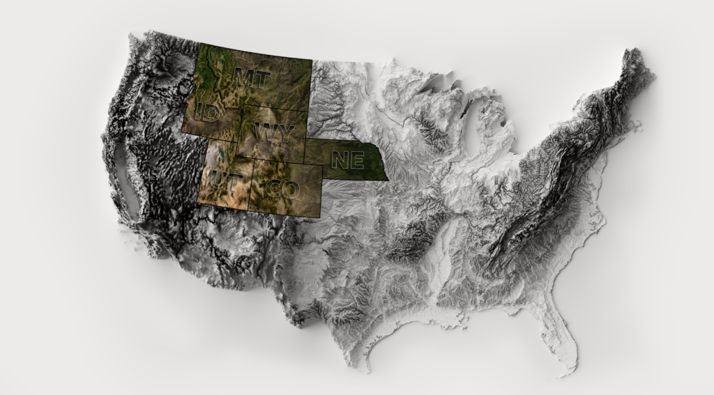
What Landowners Should Know by State
Here’s a breakdown for the six states in Swan Land Company’s service area, with seasonal context and targeted recommendations for mitigation.
Montana
Fire Season: July to September (sometimes June to October in drought years)
Western Montana’s conifer forests, particularly in mountainous regions like the Bitterroot, Flathead, and Lolo, are vulnerable to high-intensity crown fires fueled by beetle kill, dry lightning, and steep terrain. Eastern Montana’s prairies and sagebrush flats are more prone to fast-moving, wind-driven grassfires. In forested areas, prioritize thinning overstocked trees, removing ladder fuels, and clearing a 100-foot defensible zone around structures. In grasslands, mow vegetation in wide firebreaks near buildings, maintain fence line clearance, and avoid equipment use on Red Flag days. Consider metal roofing, screened vents, and ember-resistant siding in an elevated fire risk zone.
Wyoming
Fire Season: June through October (varies by elevation and fuel type)
Northwestern Wyoming’s forested areas, such as Yellowstone, Absaroka, and Bighorn, are susceptible to large timber fires, often lightning-caused and made worse by deadfall and decades of fire suppression. However, eastern and southern Wyoming’s plains face recurring grassfires, usually sparked by machinery or utility lines and spread quickly by high winds. In timbered regions, focus on forest thinning and protecting against ember cast, clear gutters, screen vents, and maintain open defensible space. In range country, mow firebreaks near structures, use spark arresters on all equipment, and keep water tanks or slip-on units staged and ready. Remote landowners should consider extended self-reliance plans due to limited fire service access.
Colorado
Fire Season: Year-round risk in some areas; Peak from June to September
Colorado sees some of the most destructive and unpredictable wildfires in the region. Dry forests and expanding development along the Front Range and mountain communities make defensible space and ember-proof construction an essential consideration. In the southern and eastern parts of the state, rangeland and piñon-juniper fires move fast and can occur even in late fall or early spring. High winds are a consistent hazard statewide. Landowners should harden structures against embers, maintain year-round defensible space, and stay connected with county-level fire agencies. Colorado’s CO-WRAP mapping tool and grant programs make planning and funding mitigation efforts easier.
Idaho
Fire Season: June through September (may begin in early May in southern Idaho)
Northern Idaho’s mixed-conifer forests burn regularly, often from lightning strikes in remote backcountry terrain. Landowners near forested public lands should prioritize home hardening, including fire-resistant materials, and maintain defensible space by thinning trees around structures and clearing brush at least 30 feet out, adjusting for slope. In southern Idaho, cheatgrass and sagebrush dominate the landscape, making fast-moving range fires the primary concern. Fine fuels dry out early and ignite easily, especially under windy conditions.
Mitigation strategies should include mowing around infrastructure, creating fuel breaks, and reseeding with fire-resilient native grasses. Equipment use on working lands is a common ignition source, so regular maintenance and fire precautions are essential during operations. In both forest and range country, landowners should maintain accessible water sources and mobile suppression tools. For remote properties, backup tanks, pumps, or slip-on units can make a critical difference when fire crews are far away.
Nebraska
Fire Season: March to May and August to October
Though not typically associated with wildfire, Nebraska’s prairies are vulnerable during drought, especially in the Sandhills and Pine Ridge. Grassfires can spread rapidly in high winds, overwhelming rural fire departments. Most wildfires here are human-caused, equipment sparks, debris burns, or ag operations that strike in spring and late summer. Landowners should focus on drought awareness, equipment maintenance, and ready access to water tanks or mobile suppression tools if needed. Buildings should be cleared of nearby grass, and escape routes should be marked and unobstructed.
Wildfires in Nebraska tend to be wind-driven grassfires, most common in drought years. The Sandhills and Pine Ridge areas are particularly vulnerable. While these fires don’t always burn hot, they spread quickly and can overwhelm small departments. Maintain trimmed grass around buildings and remove combustible material from fence lines and corrals. Equip ranch vehicles with water tanks or extinguishers during field work, especially during dry spells. Coordinate with volunteer fire districts and ensure all roads and gates are passable for emergency vehicles.
Utah
Fire Season: May through October (earlier starts in southern Utah)
Utah’s wildfire risk varies widely depending on elevation and landscape. High mountain forests and foothills are vulnerable to crown fires in the north, especially in steep canyons where dry summers, lightning strikes, and dense conifer stands create hazardous conditions. Landowners in these areas should reduce ladder fuels, maintain vertical spacing between trees, and clear defensible space around homes and outbuildings to slow fire spread and give firefighters room to work.
Southern and western Utah present a different challenge. Here, desert shrublands and pinyon-juniper woodlands are interwoven with thick beds of invasive cheatgrass, dries early and burns fast. Fires in this region often ignite from dry lightning or human activity, such as target shooting or off-road recreation. The continuous fuel beds formed by cheatgrass allow fires to rush across open terrain and into developed areas. In Utah’s brush country, mitigation should focus on breaking up continuous fuels through mowing, targeted grazing, or establishing firebreaks near structures, roads, and infrastructure. Water access can also be limited in many rural parts of the state.
For properties relying on wells or off-grid systems, securing an independent water source and installing backup power for pumps or suppression equipment is essential. Utah landowners should tailor their wildfire strategies to the land they manage and prepare before conditions peak, whether in forest or desert.
Tailor Your Wildfire Strategy to the Land You Own
Whether you manage forest, rangeland, or prairie, understanding your local fire dynamics helps shape the right strategy. In timber, focus on thinning and vertical fuel reduction; in grasslands, mow perimeters and clear around structures. Break up continuous fuel beds in brush country and remove invasive species like cheatgrass. Across all regions, store firefighting tools accessibly, maintain escape routes, and keep a defensible space plan in place. What works for one landscape may not work for another. Regional awareness is the first step toward wildfire resilience.