

The Rangeland Health Map from Public Employees for Environmental Responsibility (PEER) is a tool that evaluates the condition of over 155 million acres of BLM-managed grazing lands across ten western states. For ranch buyers, sellers, and land professionals, this provides an additional layer of clarity on the current landscape of BLM public land leases.
Here’s how to put this powerful resource to work.
Getting Started with the Rangeland Health Map
To explore the map:
-
Click the interactive MangoMaps tool.
-
Use the “+” button or your mouse wheel to zoom in.
-
Click and drag to pan.
-
Use the legend to interpret allotment health:
-
Green = All standards met.
-
Red = Standards not met.
-
Other colors represent mixed conditions or areas not assessed.
-
-
Click on individual allotments for pop-up details like acreage and assessment history.
Quick Tips for Map Use
-
Toggle layers like drought, fire history, or sage-grouse habitat to understand long-term viability and climate risk.
-
Use the date range (1997–2023) as a baseline for trend spotting and regional planning.
-
Zoom out to compare regional patterns, which is helpful for investors evaluating land in multiple states.
 |
 |
Key Insights for Ranching & Grazing
Contextual Factors: The map highlights areas where land health standards are not met, often attributing degradation to livestock. However, other factors such as drought, invasive species, or fire can also impact rangeland health. It’s important to consider these contextual elements when analyzing the data.
Scale: Over 56 million acres fail BLM land health standards, with 37 million degraded. These “red” zones can signal challenges—but also potential.
Regional Hotspots: Wyoming and Nevada show dense clusters of failing allotments. Meanwhile, swaths of green in Montana and Idaho point to more resilient grazing systems.
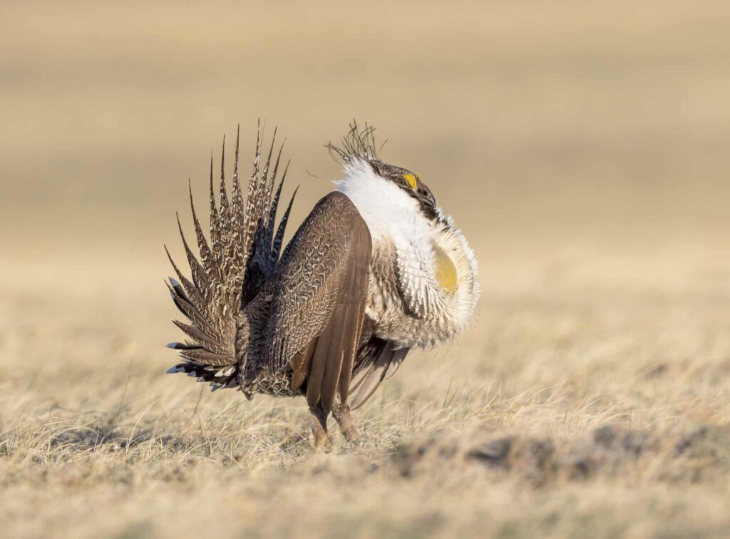
Sage-Grouse Habitat: Use the habitat layer to identify where conservation measures might affect grazing rules. This is particularly relevant for BLM lease renewals or buyers factoring in future land use regulations.
Ranch Real Estate Applications
Due Diligence: Before you buy, explore adjacent public lands. Degraded federal grazing allotments can impact your private land’s carrying capacity, water quality, or overall productivity. You can also gain key insights on how neighboring properties may affect your land or allotments.
Opportunity Zones: Not all degradation is caused by grazing—some allotments fail due to fire or drought. These areas might bounce back with good management, presenting savvy lease or stewardship investment opportunities.
Valuation Edge: A ranch linked to a “green” allotment may support premium pricing or marketing. A “red” allotment may indicate upcoming costs or potential negotiation leverage.
At Swan Land Company, we believe good decisions grow from good data and a solid understanding of its limits. Whether buying, selling, or managing a working ranch, tools like the PEER Rangeland Health Map can help you stay ahead of the curve—and on solid ground.
Learn More: Grazing Permits Demystified