 |
 |
 |
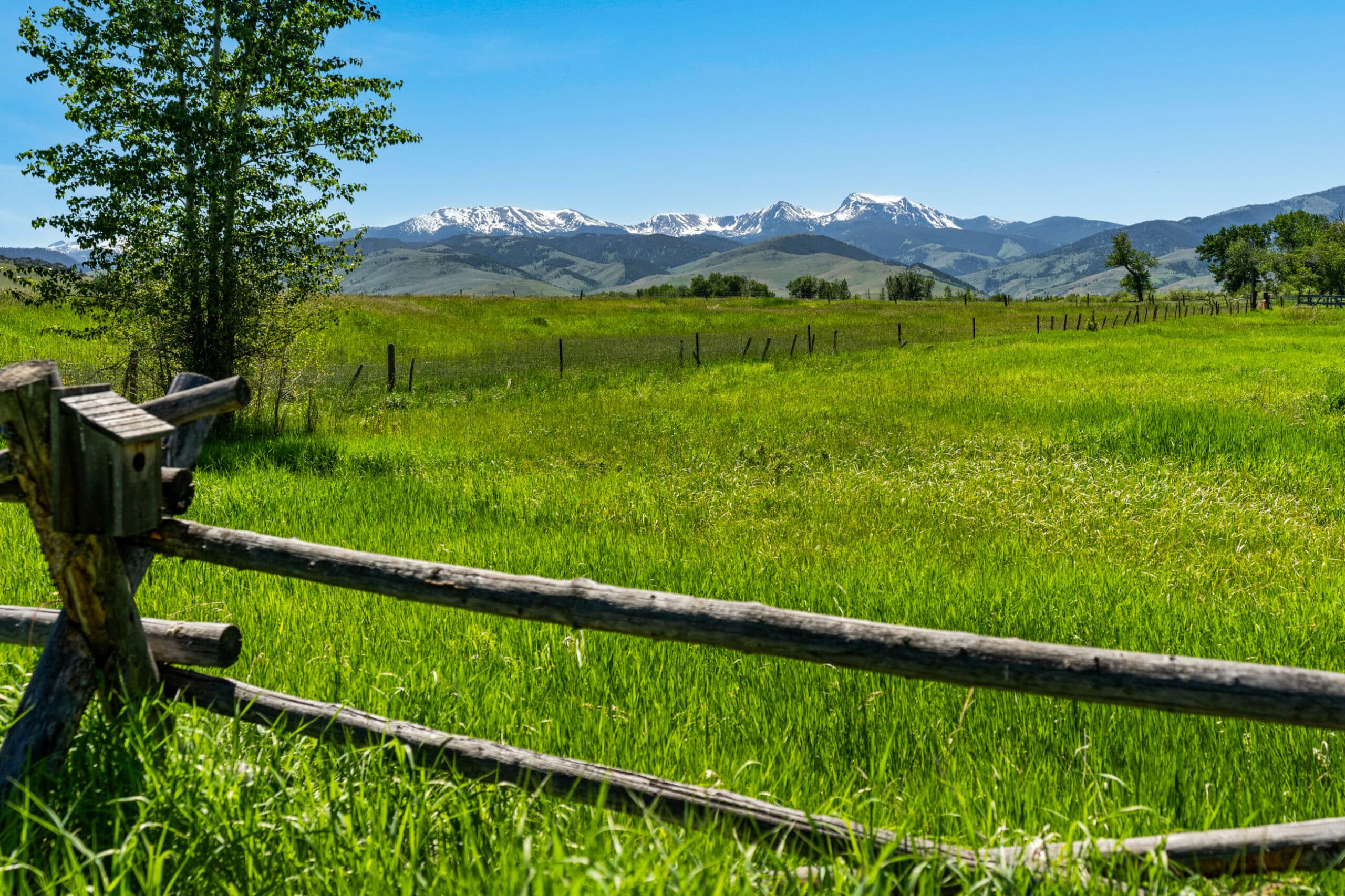
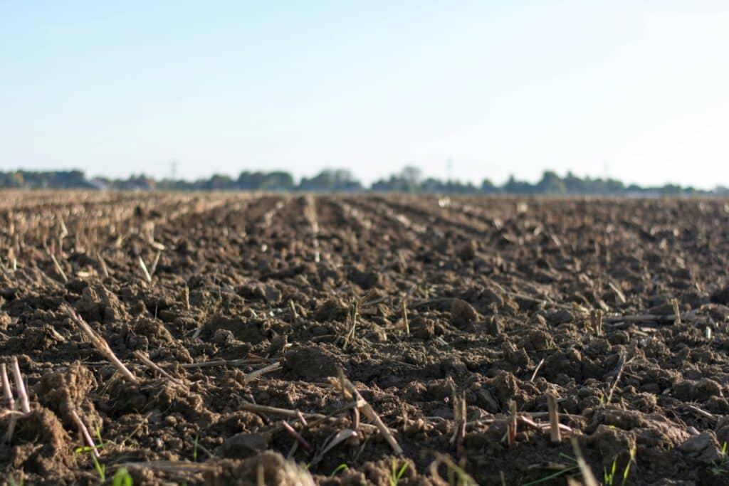
Understanding the soil beneath your land is one of the most valuable yet often overlooked steps that a landowner can take. Whether you’re raising livestock, planting crops, managing a garden, building infrastructure, or simply evaluating your property’s long-term potential, the ground beneath your feet plays a critical role.
Get a Free Soil Survey of Your Property in a Few Clicks
One of the best ways to uncover those insights is through the USDA Web Soil Survey (WSS). This powerful and completely free online tool provides detailed soil data for nearly every property in the United States.
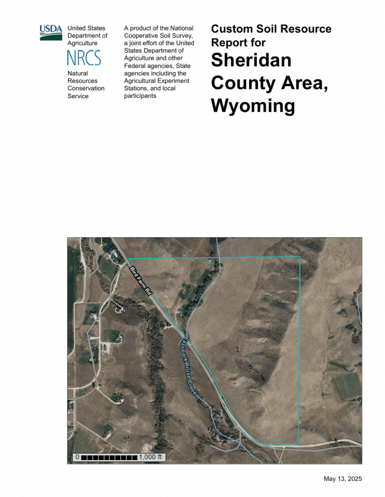
The Web Soil Survey is operated by the USDA Natural Resources Conservation Service (NRCS) and developed through the National Cooperative Soil Survey. It gives landowners access to the largest natural resource information system in the world. The NRCS currently provides soil maps and data for more than 95 percent of U.S. counties, with full coverage expected in the near future. The site is updated regularly and serves as the official source for soil survey information nationwide.
At Swan Land Company, we encourage landowners to take advantage of free tools like this, whether you manage a working ranch or simply want to understand your land more fully.
What’s Included in the Report?
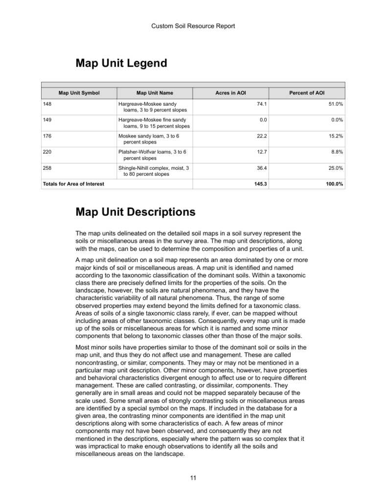
Each report includes a combination of maps and detailed descriptions that show:
-
Soil names and boundaries
-
Soil texture, depth, drainage, and classification
-
Ratings for crop, pasture, timber, and habitat use
-
Suitability for roads, buildings, septic systems, and more
-
Slope, erosion risk, and runoff potential
-
Crop yield estimates where available
This information is practical, science-based, and backed by decades of research and fieldwork.
 |
 |
How to Use the Web Soil Survey
Getting started is easy. Here’s a step-by-step guide:
-
Visit the Website
Go to https://websoilsurvey.sc.egov.usda.gov/App/HomePage.htm -
Click the Green “Start WSS” Button
This launches the map viewer. -
Find Your Property
Use the search tools on the left to locate your land by address, county, or GPS coordinates. -
Define Your Area of Interest (AOI)
On the bar on the top of the map you’ll see two AOI selection tools. A fixed rectangle tool and a custom shape tool. Select the one appropriate for your property.
Use the AOI tools to draw a box or shape around your property, double click when your finished to set your AOI. This tells the system which area you want a report for. -
View Your Soil Map
Go to the “Soil Map” tab to view the different soil types on your land. -
Explore the Soil Data Explorer
Under this tab, you can find detailed data about each soil type’s use and limitations. -
Download or Print the Report
Add your area to the “Shopping Cart” and create a free, printable PDF report. No login or payment is required.
 |
 |
Why Soil Data Matters
Soil plays a critical role in how your land functions and what it’s worth. With the right data, you can make more informed decisions, whether you’re managing day-to-day operations or planning long-term improvements.
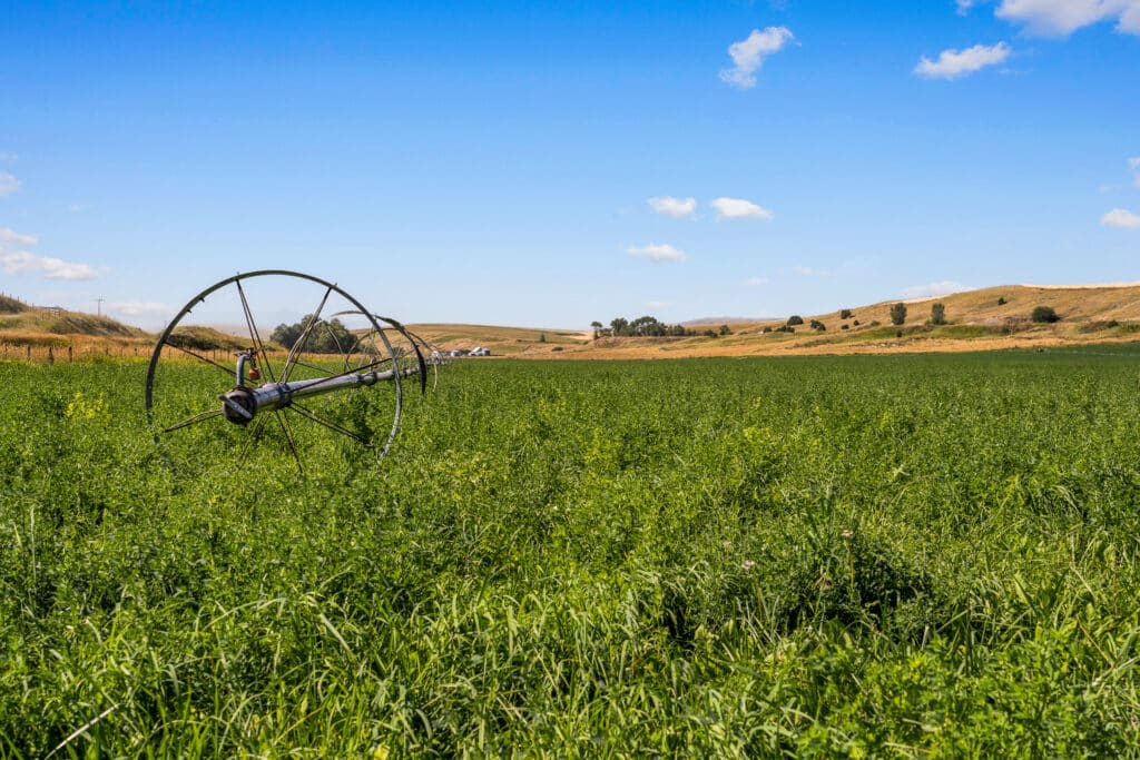
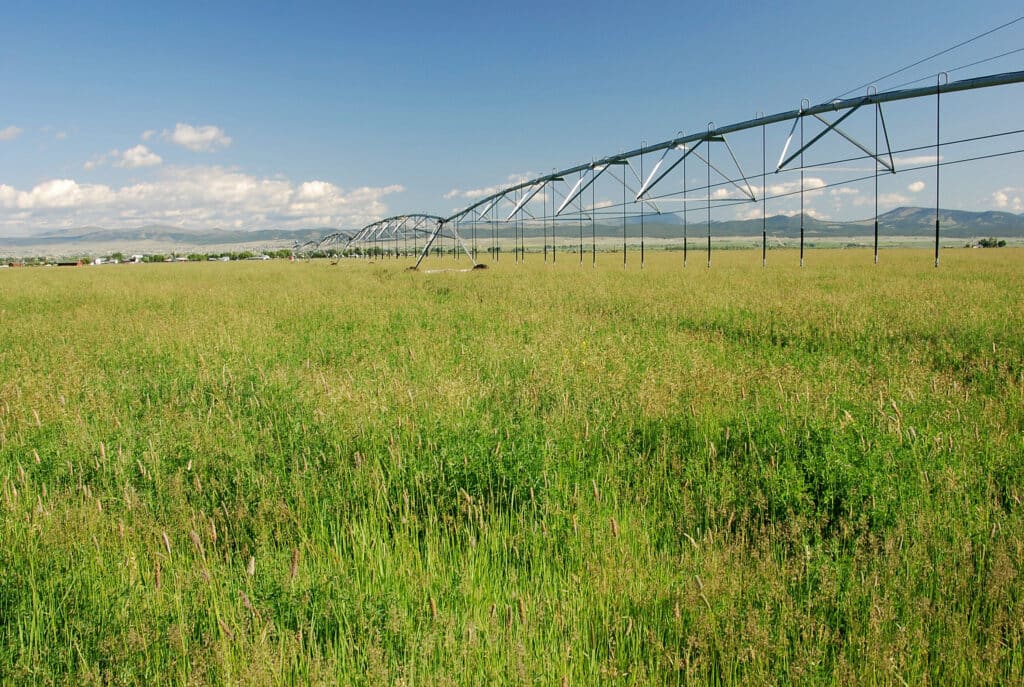
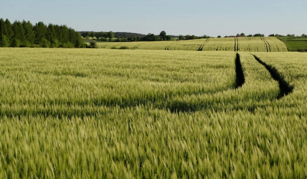
Optimize Crop and Pasture Productivity
Identify areas with fertile, well-drained soils ideal for hay production or rotational grazing. Conversely, pinpoint zones with limitations such as shallow depth or poor fertility, enabling targeted soil amendments or alternative land uses.
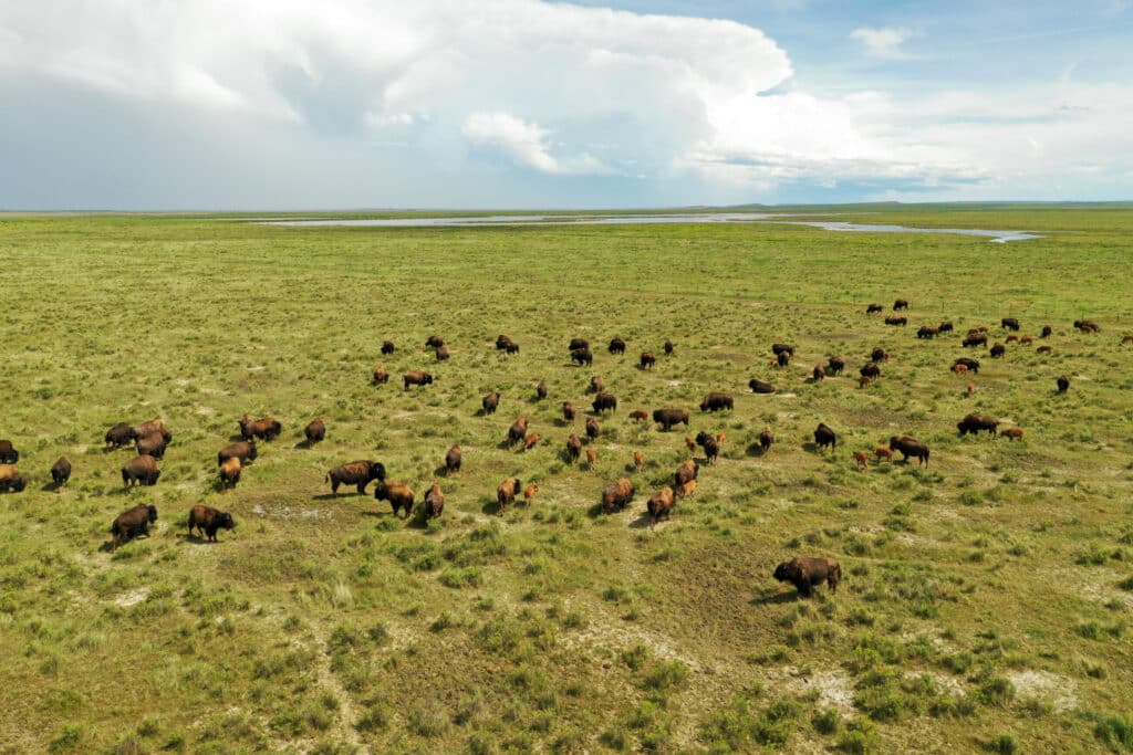
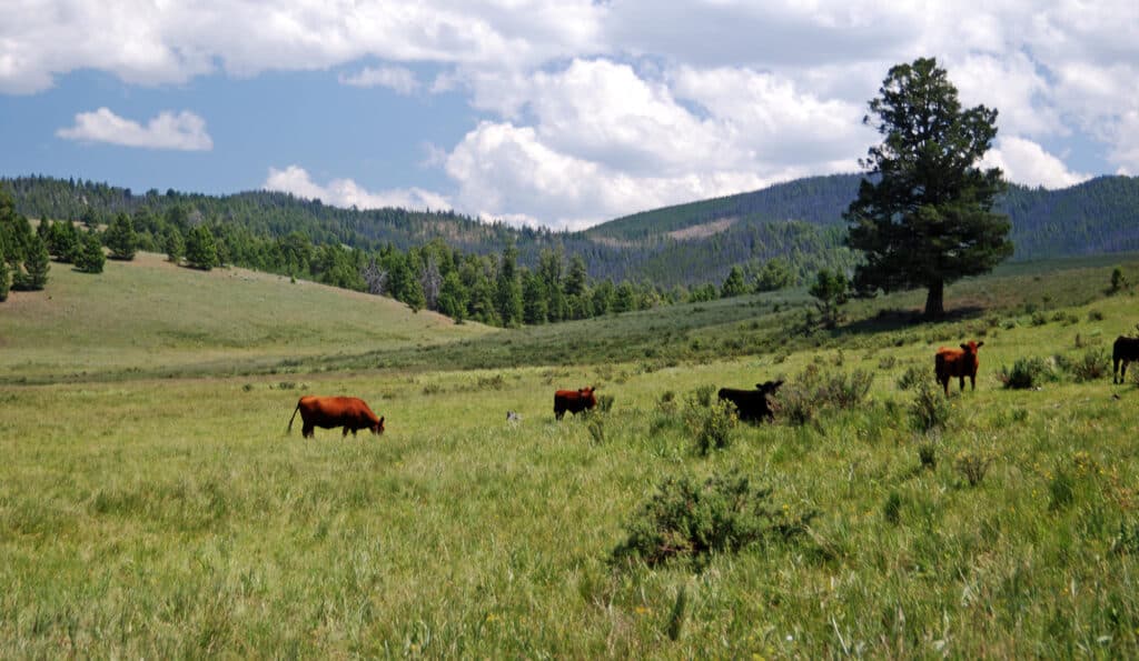
Enhance Grazing Management
Assess forage potential across different soil types to align stocking rates with land capacity. This ensures healthier pastures, reduces overgrazing risks, and supports sustainable livestock operations.
Support Timber and Vegetation Growth
Determine soil characteristics like depth, moisture retention, and nutrient availability to inform decisions on timber harvesting, reforestation, or habitat restoration projects.
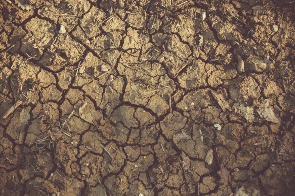
Improve Drainage and Erosion Control
Identify areas prone to runoff or erosion by analyzing soil permeability and slope. Implementing appropriate conservation practices can protect water quality and maintain soil health.
Guide Infrastructure Development
Evaluate soil stability and composition to inform the placement of structures, roads, and fencing. Understanding soil limitations can prevent costly construction issues and ensure long-term durability.
 |
 |
 |
Optimizing Pasture Management
A rancher discovers that a section of their pasture consists of shallow, poorly drained soil. Utilizing the WSS, they identify these areas and adjust their fencing layout and implement rotational grazing strategies to prevent overgrazing and maintain pasture health.
Assessing Residential Development Potential
A prospective buyer evaluates an undeveloped property for building a home. By consulting the WSS, they assess the soil’s suitability for septic systems and determine if soil conditions might necessitate specialized foundation work, aiding in informed decision-making.
Supporting Conservation Efforts
A landowner planning to establish a conservation easement uses the WSS to document soil types and their agricultural productivity. This information supports the valuation process and helps demonstrate the land’s conservation value to relevant agencies.
 |
 |
 |
What the Web Soil Survey Can and Can’t Do
The Web Soil Survey is a valuable resource, but it’s important to understand its limitations. Soil conditions can vary across short distances, and on-the-ground factors like compaction, historical use, and current vegetation may not be reflected in the data. For critical decisions, like designing a building site, installing a septic system, or setting a new grazing rotation, on-site verification by professionals is still recommended. The WSS should be used as a starting point, not a final determination.
Other Tools for Landowners
 |
A Rancher’s Guide to the Rangeland Health Map Tool |